Why Pipeline Teams Need a Lease Locator
Working in the Field Isn’t Easy—Navigation Should Be
January 3, 2025
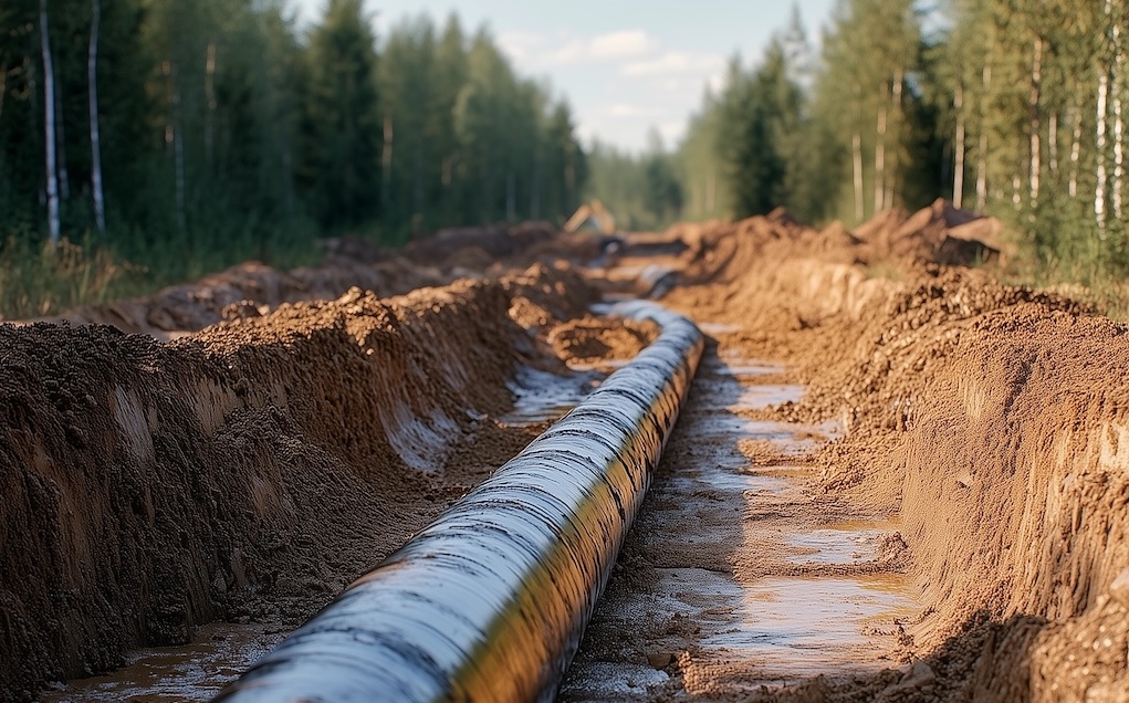
Pipeline work takes crews deep into the field, down rough lease roads, and to wellsites that don’t even appear on Google Maps. When outdated maps, poor connectivity, and wasted fuel costs get in the way, the right lease locator can transform your workflow.
The Problem with Outdated Lease Maps
Ever followed a map, only to hit a dead-end or private property? Outdated lease maps are a major frustration for pipeline crews. Many still rely on paper maps or free navigation apps that don’t reflect the latest wellsite roads.
Lease roads constantly change—new access points open, some roads close due to environmental regulations, and others get rerouted. Using outdated data means wasted time searching for the right entry point or, worse, ending up in the wrong location.
Solution: A lease locator keeps you on track with turn-by-turn directions based on the latest oilfield mapping data.
Learn more: How Do LSDs Work?
Offline GPS: A Game Changer for Field Work
If you’ve ever lost cell service while navigating, you know the struggle. Pipeline crews work in remote locations where online maps are useless. That’s where offline GPS makes all the difference.
Why Offline Mapping Matters
No signal? No problem—maps are preloaded.
Always find the right lease roads.
Spend less time lost, more time inspecting pipelines.
Instead of waiting for a weak signal or driving blind, an offline lease locator ensures instant access to wellsite coordinates, lease roads, and critical site details.
Reducing Inspection Costs with Better Navigation
Every extra mile means extra fuel costs, delays, and lost productivity. Over time, these inefficiencies add up, hurting budgets and project timelines.
A lease locator cuts costs by:
✔ Optimizing routes to minimize travel time.
✔ Avoiding costly navigation mistakes that lead to fines or missed inspections.
✔ Reducing fuel use by eliminating unnecessary detours.
Try it now: Free Online Lease Locator (Computer Only)
Real-World Uses: How Teams Benefit from Lease Locators
A pipeline inspection crew was constantly delayed by missing roads, wrong turn-offs, and lease access points that weren’t mapped. They lost over an hour daily just searching for the right location.
After switching to a lease locator:
Preloaded maps ensured offline access.
Lease road data was always up to date.
Accurate directions saved fuel and time.
Now, they complete inspections faster, cut costs, and improve efficiency.
Lease locators aren’t just for large teams—independent contractors, pipeline safety managers, and emergency response crews all rely on them for oilfield navigation.
Why Choose OilTrails?
When it comes to lease navigation and field efficiency, OilTrails is the ultimate solution. Unlike generic mapping apps, OilTrails is built for oil and gas professionals, featuring:
- Accurate LSD & NTS lease locations
- Seamless offline navigation
- Optimized routing for field teams
- GeoPics integration for geotagging field photos and documentation. What is GeoTagging?
With OilTrails, your team isn’t just navigating—you’re streamlining every aspect of field operations.
Upgrade your oilfield navigation today! Visit OilTrails.ca to learn more. To explore OilTrails for Teams, visit OilTrails for Business.