OilTrails Tip: 3 Features You Might’ve Missed
Reverse geocoding, desktop LSD search, and a better way to capture field photos.
March 20, 2025
Even if you’re a regular OilTrails user, chances are you’ve only scratched the surface of what the app can do. In this post, we’re highlighting three useful features you might’ve overlooked—plus a sneak peek at what’s around the corner.
Reverse Geocoding – Tap and Hold for Instant Info
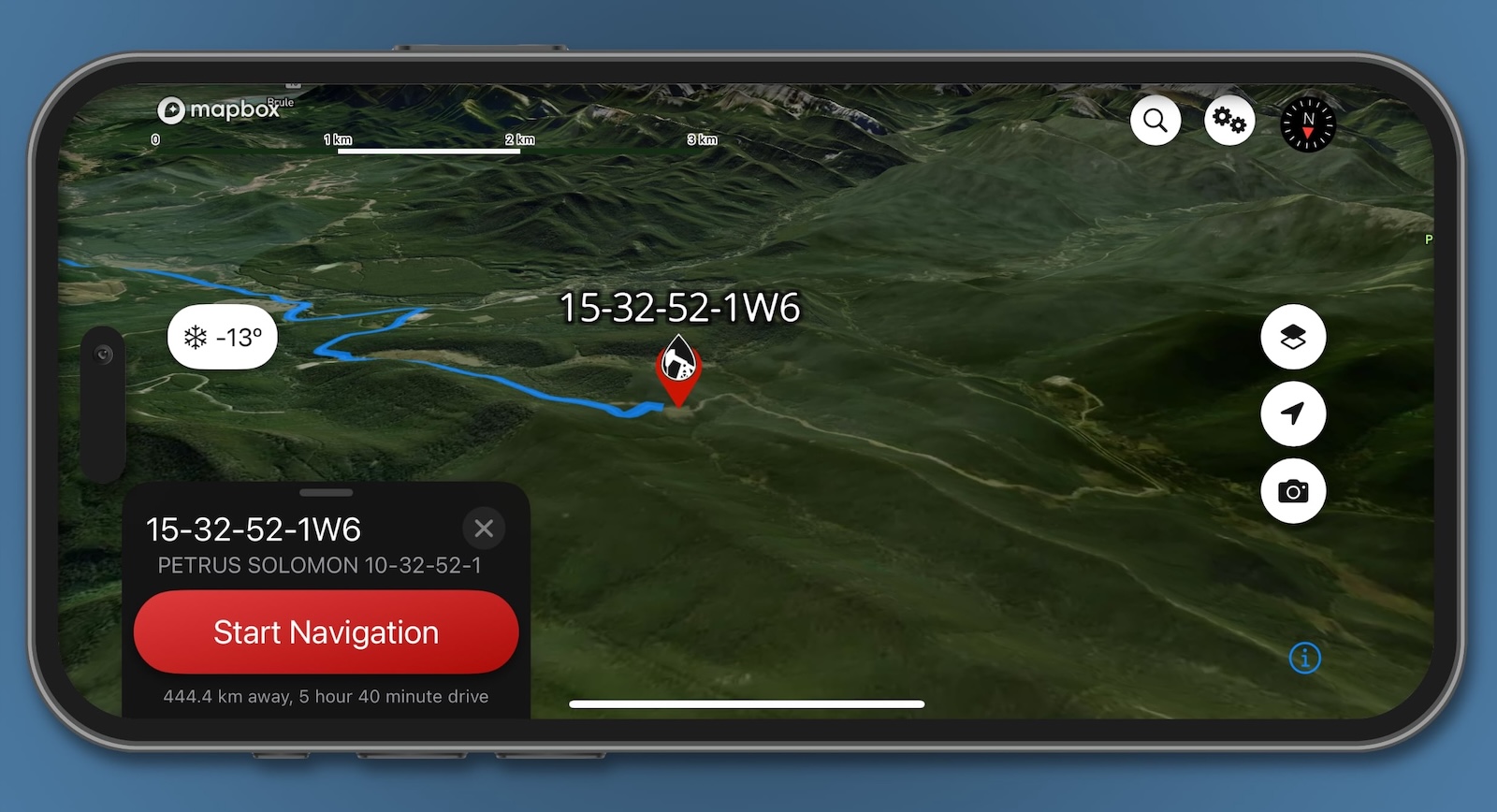
Need to quickly identify where you are?
Just tap and hold anywhere on the OilTrails map to drop a pin. From there, you’ll get instant access to:
- LSD / BCNTS details
- Nearby wells (where available)
- Area and road name info
- Current weather conditions
Perfect for scouting, verifying, or just getting your bearings without typing a thing.
Desktop Access: oiltrails.ca/lsd-finder
OilTrails isn’t just for mobile. Head over to oiltrails.ca/lsd-finder to search and explore locations from your computer.
You’ll get:
- The same accurate LSD/BCNTS search functionality
- Pin dropping and location data
- Ability to share links or screenshots with your team
While desktop can’t handle GPS navigation (because, well… don’t use your laptop while driving), it’s a great tool for planning ahead or reviewing sites at the office.
GeoPics – Field Photos with Built-In Location Data
Want an easy way to share field photos with location data? Make it easy to share geo data with the office.
Enter GeoPics—our built-in photo tool that captures images stamped with field location data. Just tap the camera button on the OilTrails main screen to get started.
Each photo includes:
- LSD / BCNTS
- Date and time
- GPS coordinates
- Optional comments and notes
Heads up: We’re working on GeoPics 2.0—a major update that brings more customization, gallery options, and export tools to field photos. Stay tuned!
Whether you’re scouting leases, reviewing plans at your desk, or documenting site visits, these tools are here to help.
Got a favourite OilTrails tip or feature you think more people should know about? Let us know—we’re always listening.
And if you’re not already using OilTrails, now’s the perfect time to start.
Download OilTrails for for mobile and explore the full range of features.
Or locate wells from our site and unlock the full potential of your field data.