Demystifying Reverse Geocoding
What Is Reverse Geocoding and How OilTrails and GeoPics Use It
You may have come across the term “geocoding,” which refers to the process of converting addresses into geographic coordinates that can be used to place markers on a map. But have you ever needed to do the opposite? That’s where reverse geocoding comes into play, and why OilTrails is the go-to oilfield navigation app for such needs.
Reverse geocoding takes a specific location on a map, either from a physical site or map position, and translates it into geographic coordinates, such as latitude and longitude. It’s a crucial tool when you need to describe a location to someone else, but you only have its map position.
Situations Requiring Reverse Geocoding
Reverse geocoding is particularly useful in a few scenarios:
- You’ve found a location on a map, but need to share that spot with others who might not have the map or be familiar with the area. It’s an essential feature of our lease locator app, OilTrails.
- You’re examining an oil lease on a satellite map and want to obtain its Legal Subdivision (LSD) or National Topographic System (NTS) location. OilTrails acts as an LSD finder, providing this information instantly.
- You’re reporting issues in the field and need to provide the exact location to a remote team or supervisor.
- In emergency situations where you need to share your location with first responders but don’t have a physical address.
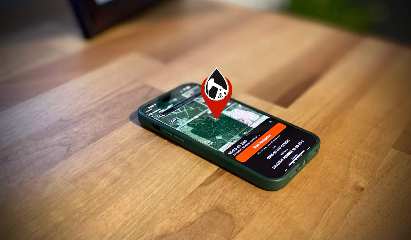
Reverse Geocoding with OilTrails
Our OilTrails app leverages the power of reverse geocoding to simplify location sharing for users in the oil and gas industry. By simply tapping and holding on the app’s map to drop a pin, OilTrails retrieves the GPS coordinates of that location. In Canada, the app can also fetch the corresponding LSD and NTS locations, and in Alberta, it can even provide well data and offline LSD reverse geocoding.
Enhanced Functionality with GeoPics
To take the utility of reverse geocoding a step further, we integrated it into our GeoPics app, which is available as a stand alone app or included with OilTrails. This allows users to take pictures that are automatically stamped with their location’s coordinates, Universal Transverse Mercator (UTM), and a timestamp. Each picture also includes a QR code that, when scanned or long-tapped, opens the corresponding location on Google Maps.
If you’re in the oilfield needing to share detailed location information, reverse geocoding with OilTrails lease locator and GeoPics makes it simple and convenient.